Introduction
Summary
OutdoorNav Software is a software package developed by Clearpath Robotics for autonomous and manual navigation of Unmanned Ground Vehicles (UGVs) in outdoor environments.


Compatible Platforms
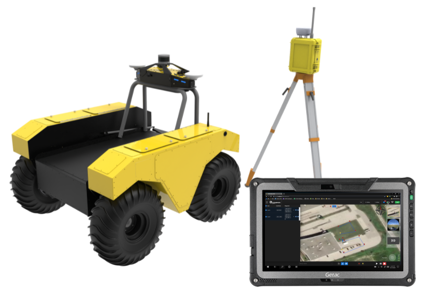
While it has been optimized for use with OutdoorNav Hardware from Clearpath Robotics (Husky, Jackal, and Warthog), it has been designed so that it can be added easily to third-party UGVs.

Key Features
Key features of OutdoorNav Software include:
-
Mission Planning and Autonomous Navigation
- Robust GPS-based localization with sensor fusion of IMU, LiDAR and platform odometry
- Autonomous path following via waypoints
- Obstacle Detection and Avoidance: Stop and wait or autonomously plan a collision-free path around obstacles without the need to stop
-
Teleoperation
- Operate the robot remotely using an on-screen or physical joystick
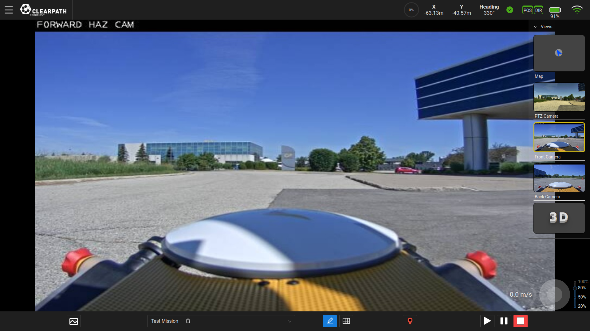
- Visualize what the robot sees by displaying its network cameras and LiDAR data
-
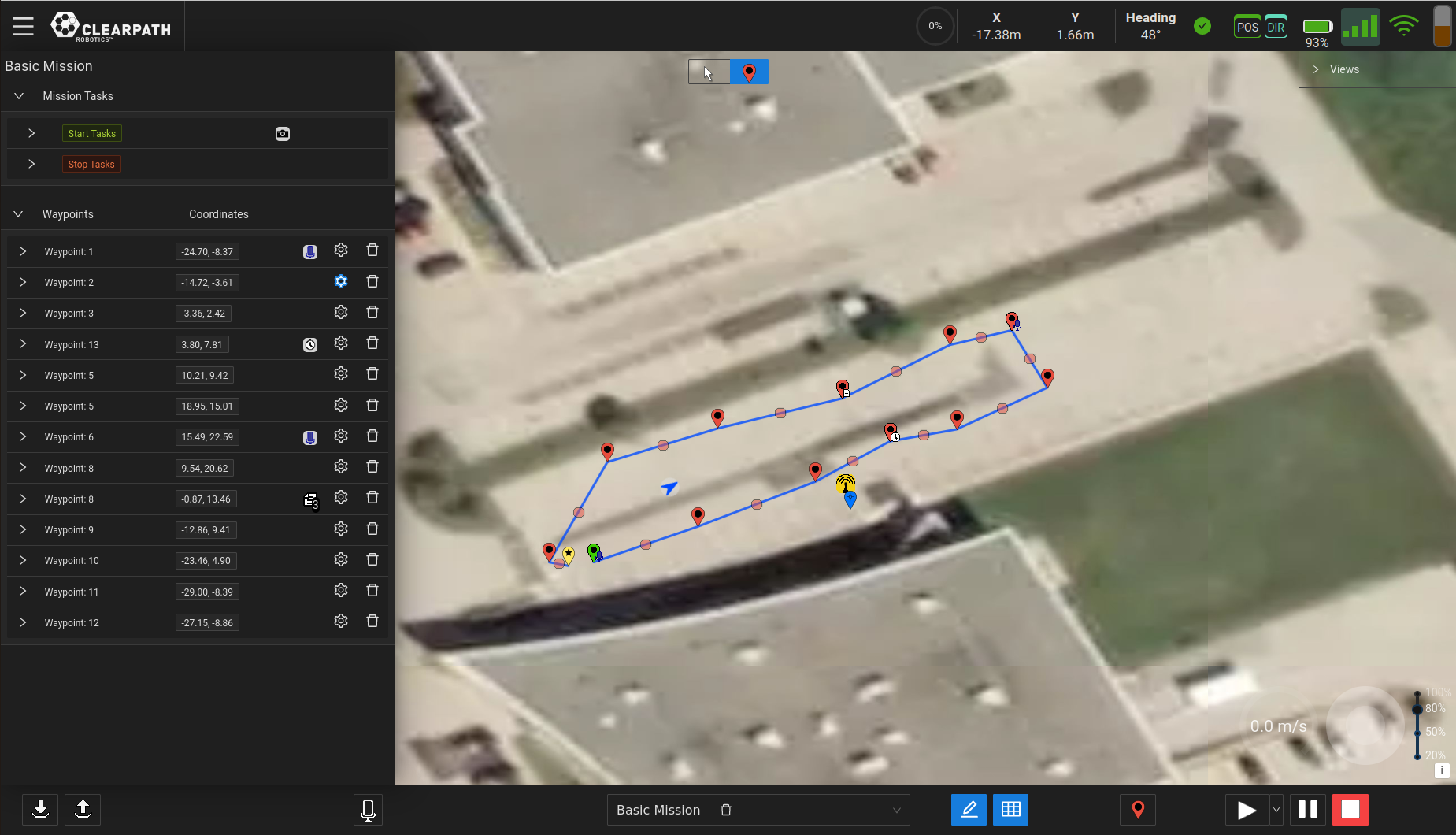
Web User Interface (Web UI)
- Build missions containing sets of paths, with optional task execution on each path; tasks can be standard tasks (eg. save camera image) or user provided functions
- View the robot's live position and attitude on the map
- Display robot data such as velocity, signal strength, status of the E-Stop, status of navigation system, and battery charge
- Save and export Missions
-
Application Programming Interface (API)
- Build your own application and UI by accessing the navigation API to control the UGV through software or implement fleet management by accessing the mission API
-
Simulation
- Begin development of your application prior to purchasing licenses or commissioning hardware with OutdoorNav software and the ROS Gazebo simulator
-
Third Party Integration
- The Web UI and API can be accessed through a network connection; cloud-based services are available from third parties to facilitate remote connections and networking to robot hardware such as Formant.io and Freedom Robotics